The primary features available on the map application are geologic map layers which include features that were mapped at 1:24,000-scale (1 in = 2000 ft) across the entire state. These features are mapped geologic units (polygons), geologic contacts (lines), geologic faults (lines), structural contours (lines), and geologic beds (lines) that can be viewed at any scale on this map service. You can symbolize the geologic unit polygons by mapped stratigraphic geologic unit, dominant lithology for each unit, karst potential that was determined for each unit, or by major geologic ages of the detailed geologic units. These 1:24,000-scale geologic features were digitized from the 707 published USGS 1:24,000-scale geologic quadrangle maps of Kentucky.
A history of this digital mapping effort can be found here. A compilation of the digitally scanned published USGS quadrangles can also be viewed as a raster layer on this map service.
This application also includes 1:500,000-scale geologic map units which were digitized from the
1988 Geologic Map of Kentucky (Noger). Similar to the 1:24,000-scale geologic units, these units can be symbolized by stratigraphic unit, dominant lithology, or karst potential.
When the stratigraphic or dominant lithology geologic units are turned on, the Geologic Map Legend (open from the main menu or Layers tool)displays the name and color for the unit. The legend is interactive, and if you double-click the color for a unit, that unit will be highlighted on the map (in the viewed extent). Depending on the display scale and number of features, the highlight will either be the outline of each polygon or simply the centroid of each polygon:
If too many features are returned to be mapped, a popup will notify you to zoom-in on the map to reduce the extent.
Along with the geologic map GIS features, KGS digitally captured the descriptive text of each geologic unit for both the 1:24,000-scale and 1:500,000-scale geologic features. When the geologic units are turned on, the click-map ID tool highlights the unit on the map, and a dialog displays the metadata about each unit, links to the relevant published sources for the map data, and the description for the digital geologic unit (including links to the source material for the description):


 USGS TopoView - use to access USGS topographic maps
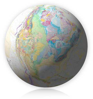 USGS Geologic MapView - Use an interactive map to view and download geologic map publications in the National Geologic Map Database.


