Files range in size from 7 to 25 Mb. For slow connections, right click on the county of interest, Save Target As to your computer, and then open it.
Geology for Everyone
Geology on the Web
The pressures of continued growth in the Commonwealth of Kentucky require
a better understanding of the physical environment in which we live. Kentucky
taxpayers bear the cost of poor development decisions that result from inadequate
technical input. "Smart Growth" planning can identify areas of suitable geologic
and engineering character for many kinds of land use.
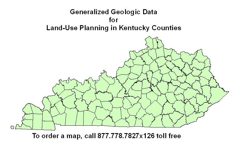
The Kentucky Geological Survey (KGS) is producing land-use planning maps based on geologic and environmental analyses. A map will be produced for each Kentucky county at a scale of either 1:48,000 or 1:63,360. Each map will provide an interpretation of the local geology in nontechnical
language and can be used by homeowners, developers, and planners.
The maps provide information on how the underlying rock in an area affects
excavation and foundations, on-site wastewater treatment systems, residential
and industrial developments, highway and street development, and pond
and reservoir construction. Photographs of sites in the area are used to
illustrate the geologic discussion.
Please let us know if you would like to make your county a priority area for map development.
Also give us your suggestions on how these maps might be made even more useful for land-use
planning and management, and how we might provide the best possible service to all areas
of the state. Please send comments and suggestions to KGS - tel: 859.257.5500
.
|